Ghazni Map Chart and Blank Image
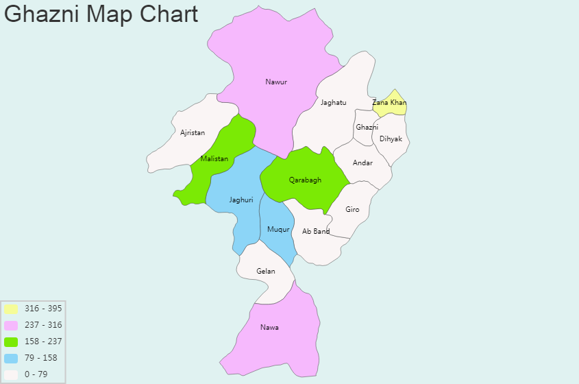
General Information of Ghazni: Coordinates: 33°32′57″N 68°25′24″E Country: Afghanistan Province: Ghazni Province District: Ghazni District Elevation: 2,219 m (7,280 ft) Population (2019) – Total: 141,000 Time zone: UTC+4:30 (AST) Ghazni bordering Province: Bamyan, Logar, Paktika, Uruzgan, Paktya, Wardak, Zabul Regional Maps: Map of Afghanistan, Map of Asia Ghazni province is divided into districts: Ab_Band, Ajristan, Andar, Dihyak, Gelan, […]