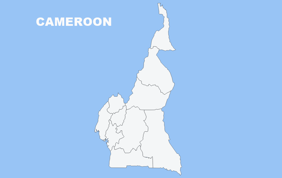
Map Chart

Belgium Blank Map Chart

General Information of Belgium .tg {border-collapse:collapse;border-spacing:0;} .tg td{font-family:Arial, sans-serif;font-size:14px;padding:10px 5px;border-style:solid;border-width:1px;overflow:hidden;word-break:normal;border-color:black;} .tg th{font-family:Arial, sans-serif;font-size:14px;font-weight:normal;padding:10px 5px;border-style:solid;border-width:1px;overflow:hidden;word-break:normal;border-color:black;} .tg .tg-8qcb{font-size:14px;border-color:#c0c0c0;text-align:left;vertical-align:top} @media screen and (max-width: 767px) {.tg {width: auto !important;}.tg col {width: auto !important;}.tg-wrap {overflow-x: auto;-webkit-overflow-scrolling: touch;}} What is the capital city of BELGIUM? BRUSSELS What is the total area of BELGIUM? (km2) 30.528 What is the population in BELGIUM? […]

Bahrain Blank Map Chart

General Information of Bahrain .tg {border-collapse:collapse;border-spacing:0;} .tg td{font-family:Arial, sans-serif;font-size:14px;padding:10px 5px;border-style:solid;border-width:1px;overflow:hidden;word-break:normal;border-color:black;} .tg th{font-family:Arial, sans-serif;font-size:14px;font-weight:normal;padding:10px 5px;border-style:solid;border-width:1px;overflow:hidden;word-break:normal;border-color:black;} .tg .tg-wo29{border-color:#c0c0c0;text-align:left;vertical-align:top} @media screen and (max-width: 767px) {.tg {width: auto !important;}.tg col {width: auto !important;}.tg-wrap {overflow-x: auto;-webkit-overflow-scrolling: touch;}} What is the capital city of BAHRAIN? MANAMA What is the total area of BAHRAIN? (km2) 760 What is the population in BAHRAIN? […]

Albania Blank Map Chart

General Information of Albania .tg {border-collapse:collapse;border-spacing:0;} .tg td{font-family:Arial, sans-serif;font-size:14px;padding:10px 5px;border-style:solid;border-width:1px;overflow:hidden;word-break:normal;border-color:black;} .tg th{font-family:Arial, sans-serif;font-size:14px;font-weight:normal;padding:10px 5px;border-style:solid;border-width:1px;overflow:hidden;word-break:normal;border-color:black;} .tg .tg-855q{background-color:#ffffff;border-color:#c0c0c0;text-align:left;vertical-align:top} @media screen and (max-width: 767px) {.tg {width: auto !important;}.tg col {width: auto !important;}.tg-wrap {overflow-x: auto;-webkit-overflow-scrolling: touch;}} What is the capital city of ALBANIA? TIRANA What is the total area of ALBANIA? (km2) 28.748 What is the population in ALBANIA? […]

Kunduz Map Chart and Blank Image

General Information of Kunduz: Coordinates: 36°43′43″N 68°52′5″E Country: Afghanistan Province: Kunduz Province District: Kunduz District First mention: 329 BC Elevation: 391 m (1,283 ft) Population (2012) – City: 268,893 – Urban: 268,893 Time zone: UTC+4:30 (Afghanistan Standard Time) Climate: BSk Kunduz bordering Province: Baghlan, Balkh, Samangan, Takhar Regional Maps: Map of Afghanistan, Map of Asia […]

Kandahar Map Chart and Blank Image

General Information of Kandahar:Coordinates: 31°37′N 65°43′ECountry: AfghanistanProvince: KandaharDistrict: KandaharGovernment • Mayor: Rokhan WolasmalArea • Total: 273.37 km2 (105.55 sq mi)Elevation: 1,010 m (3,310 ft)Population (2015) • Total: 557,118Time zone: UTC+4:30 (Afghanistan Standard Time) Kandahar bordering Province: Hilmand, Uruzgan, Zabul Regional Maps: Map of Afghanistan, Map of Asia Kandahar province is divided into districts: Arghandab, Arghistan, Daman, Ghorak, Kandahar City, Khakrez, Maruf, […]

Faryab Map Chart and Blank Image

General Information of Faryab: Coordinates (Capital): 36°15′N 64°50′E Country: Afghanistan Capital: Maymana Government – Governor: Naqibullah Faiq Area[1] – Total: 20,797.6 km2 (8,030.0 sq mi) Population (2012)[2] – Total: 948,000 – Density: 46/km2 (120/sq mi) Time zone: UTC+4:30 ISO 3166 code: AF-FYB Main languages: Uzbek, Turkmen, Dari, Pashto Faryab bordering Province: Badghis, Ghor, Jawzjan, Sari Pul Regional […]

Daykundi Map Chart and Blank Image

General Information of Daykundi: Coordinates: 33.75°N 66.25°E Country: Afghanistan Established: 2004 Capital: Nili Government – Governor: Sayed Anwar Rahmati Area – Total: 18,088 km2 (6,984 sq mi) Population (2012) – Total: 723,980 Time zone: UTC+4:30 ISO 3166 code: AF-DAY Main languages: Dari (Hazaragi dialect) Website: daikundi.gov.af Regional Maps: Map of Afghanistan, Map of Asia Daykundi province […]

Balkh Map Chart Blank Image

General Information: Country: Afghanistan Province: Balkh Province District: Balkh District Elevation: 1,198 ft (365 m) Population (2006) – City: 77,000 Time zone: + 4.30 Climate: BSk Balkh bordering Province: Jawzjan, Kunduz, Samangan, Sari Pul Regional Map: Map of Afghanistan, Map of Asia Balkh province is divided into districts: Balkh Char_Bolak Charkint Chimtal Dawlat_abad Dihdadi Kaldar Khulm […]

Baghlan Map Chart and Blank Map

General Information: Coordinates (Capital): 36°N 69° Country:  Afghanistan Capital: Puli Khumri Government – Governor: Abdul Hai Naimati Area – Total: 21,118 km2 (8,154 sq mi) Population (2013) – Total: 863,700 – Density: 41/km2 (110/sq mi) Time zone: UTC+4:30 ISO 3166 code: AF-BGL Main languages: Dari (Dari-Persian), Pashto Associated Historical Names for the Region: Arachosia, Aria, […]

Badakhshan Map Chart

General Information: Country: Afghanistan Capital: Fayzabad Government – Governor: Ahmad Faisal Begzad Area – Total: 44,059 km2 (17,011 sq mi) Population (2012) – Total: 904,700 Density: 21/km2 (53/sq mi) Time zone: UTC+4:30 ISO 3166 code: AF-BDS Main languages: Dari, Khowar, Kyrgyz, Shughni, Munji, Ishkashimi, Wakhi Badakhshan Province is one of the 34 provinces of Afghanistan, […]

Lihat Postingan Lainnya