General Information of Lebanon
- Lebanon is a country in the Middle East
- Official Name: Lebanese Republic, الجمهورية اللبنانية (Al-Jumhūrīyah Al-Loubnānīyah)
- Capitol: Beirut
- Population: 5,882,562
- Languages: Arabic, French, English, Armenian
- Geographic Region: Asia, Western Asia
- Geographic Size (km sq): 10,452
- Year of UN Membership: 1945
- Year of Present State Formation: 1926
- Current UN Representative: Nawaf Salam
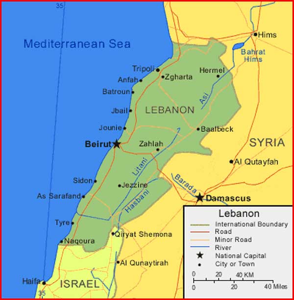
Regional Maps: Map of Asia, World Map
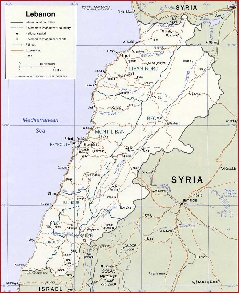
Political Map
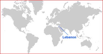
Map Location
Important city of Lebanon: Al ‘Aridah, Al Minyah, Anfah, As Sarafand, Baalbeck, Batroun, Baynu, Beyrouth (Beirut), El Mina, Halba, Hasbayya, Hermel, Jbail, Jezzine, Jounie, Kousha, Machghara, Nagoura, Qiryat Shemona, Qoubalyat, Saida (Sidon), Sir ad Dinniyah, Sour (Tyre), Trablous (Tripoli), Yunin, Zahlah and Zgharta.