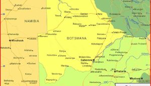
Zimbabwe Map – The official name of Zimbabwe is the Republic of Zimbabwe, a landlocked country located in southern Africa, between the Zambezi and Limpopo Rivers, bordering South Africa, Botswana, Zambia and Mozambique. The capital and largest city is Harare. The population of Zimbabwe is around 16 million people, has 16 official languages, with English, Shona and Ndebele the most commonly used.
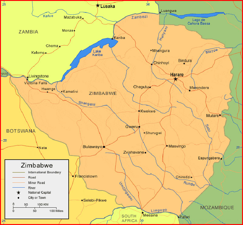
Regional Maps: Map of Africa, World Map
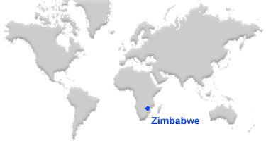
Map location
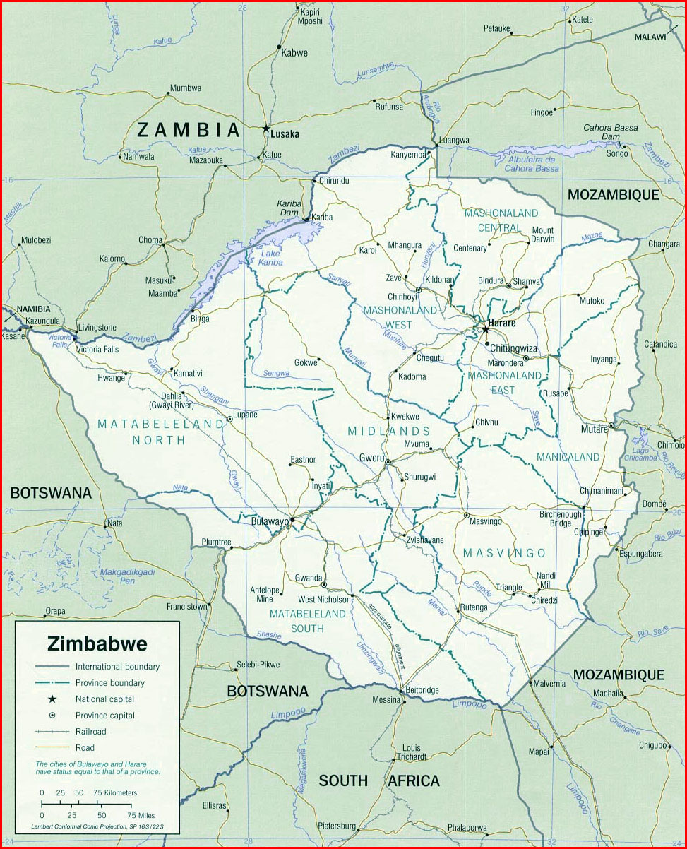
Political map
Black and white map
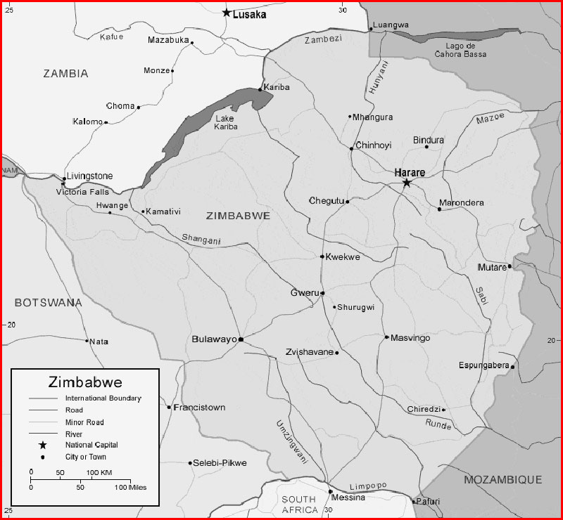
Important city of Zimbabwe: Beitbridge, Bindura, Bulawayo, Chegutu, Chinhoyi, Chiredzi, Chitungwiza, Chivhu, Espungabera, Gutu, Gweru, Harare, Hwange, Inyati, Kadoma, Kamativi, Kariba, Kwekwe, Makaha, Marondera, Masvingo, Mhangura, Mphoengs, Mutare, Shurugwi, Tuli, Victoria Falls and Zvishavane.