General Information of Suriname:
- Suriname is a country in South America
- Official Name: Republic of Suriname, Republiek Suriname
- Capital: Paramaribo
- Population: 553,000
- Languages: Dutch, English, Sranang Tongo
- Geographic Region: Americas, South America
- Geographic Size (km sq): 163,820
- Year of UN Membership: 1975
- Year of Present State Formation: 1975
- Current UN Representative: Henry L. Mac-Donald
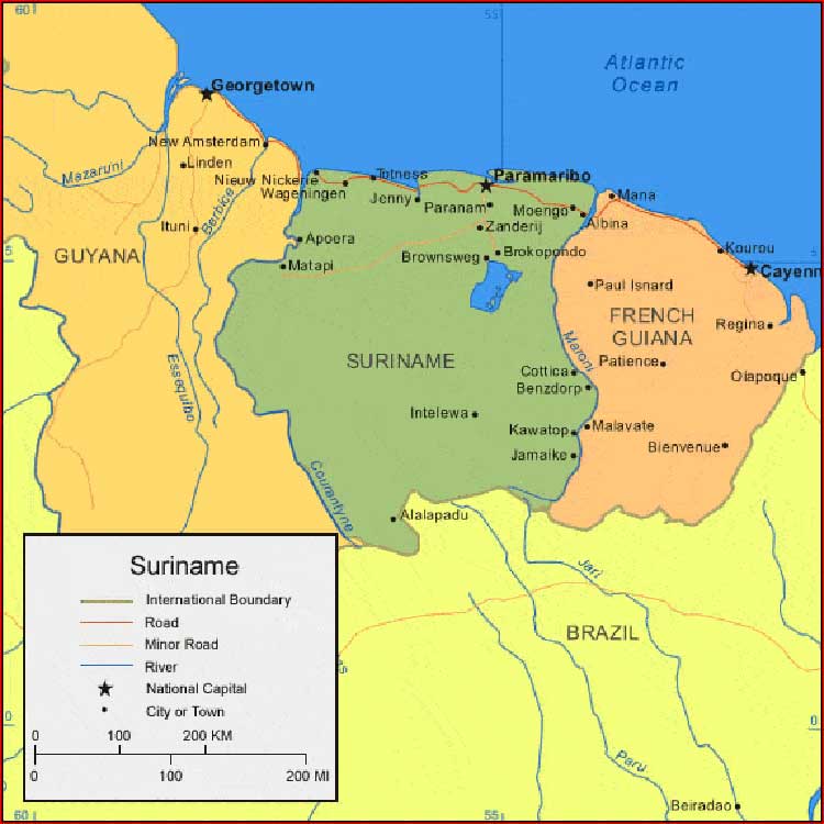
Regional Maps: Map of South America, World Map
Political Map
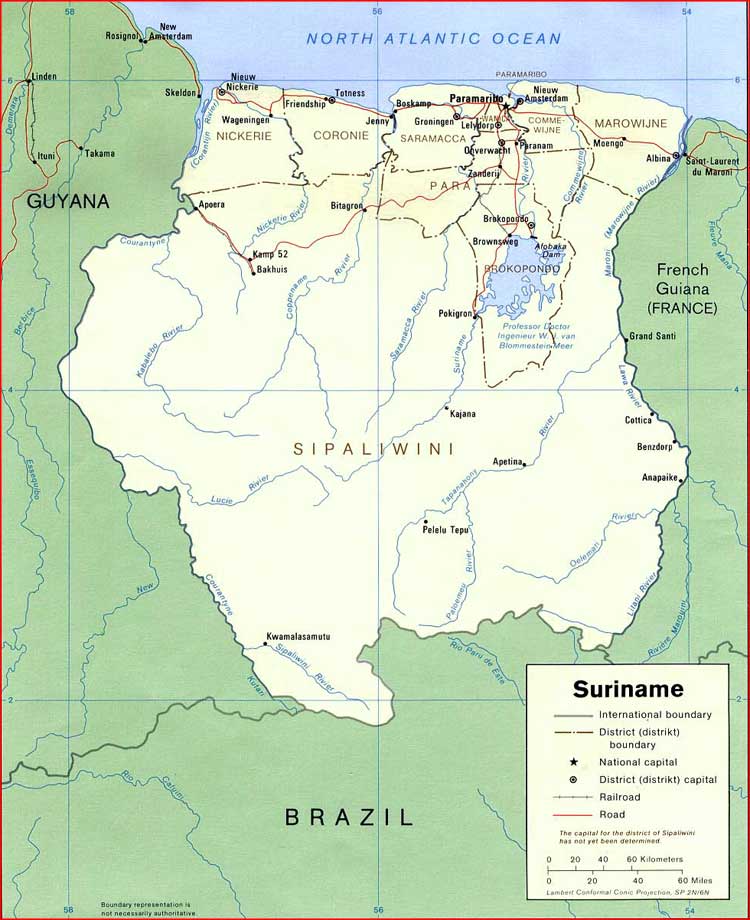
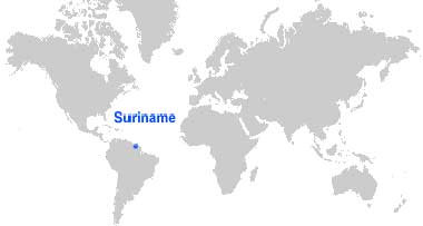
Map Location
Important Cities of Suriname: Afobaka, Alalapadu, Albina, Apoera, Apoera, Benzdorp, Boskamp, Brokopondo, Brownsweg, Cottica, Granbori, Intelewa, Jamaike, Jenny, Kawatop, Kwakoegron, Matapi, Meerzorg, Moengo, Nieuw Amsterdam, Nieuw Nickerie, Paramaribo, Paranam, Phedra, Totness, Wageningen and Zanderij.